31 Jan Construction Surveying with Drones | V-Drone
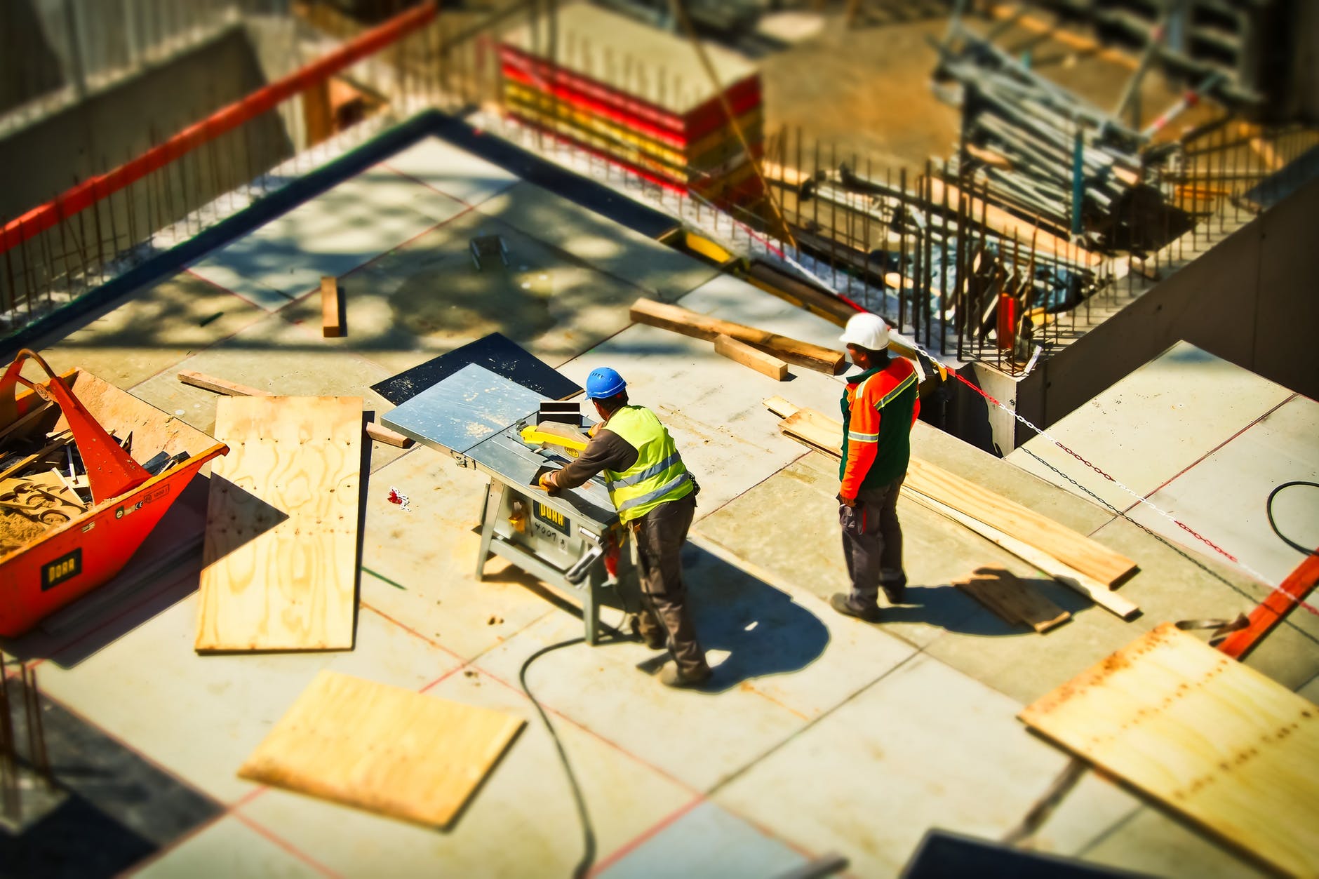
Drones are quickly and drastically improving the construction surveying process. On its own, construction surveying allows construction companies and their clients to learn more about the land surrounding their building. With drones, however, surveying can begin to develop even more detailed maps of the land, including topographical and heat charts. By using drone technology, the construction companies can even see 3D images of the land, a clearer and more realistic depiction than any other photograph. With all the information the drones provide, construction companies can hope to make better decisions during the building process.
Drones are helping the construction surveying process in many ways. First, drone images and videos have much better quality than grainy satellite images. As mentioned earlier, the closer range of the images can hold more detail than a distant satellite photo. In addition, using drones for construction surveying is more affordable than using other heavy machinery and expensive surveying material.
This allows project managers to focus more on the information the drones collect as opposed to trying to figure out how to collect the information in the first place. Finally, drones quicken the process of surveying material because the images and information can be uploaded right away. This becomes critical for project managers who are managing many different sites in many different places. Multiple construction companies can then pull up images immediately to make decisions about the area.
More importantly, drones also allow a construction company to continually inform their clients on the progress of the site. Often, the clients cannot visit the site regularly, so the continual collection of this information keeps them up-to-date. By keeping clients filled in on the progress, a company can increase the public’s trust in its abilities for more long-term work.
Here at V-Drone, we know the benefits of using drones for construction surveying. With the latest in drone photography technology, we can help you collect information on a piece of land that goes above and beyond the quality of satellite images. Please contact us to learn more about aerial photography here or call (504) 834-8811.

No Comments